


Land at Marina Sunshine | Open city – Campeche
R$ 1.190.000


O Strava is an app born around running, cycling, and other physical activities, but its heatmap has taken on an unexpected use. Recently, the visualization of Chicago went viral on social media after being described, half-jokingly, as a kind of portrait of the city's social class and income. The reaction raised an interesting question: could the places where people choose to run and cycle also help reveal where they like to live?
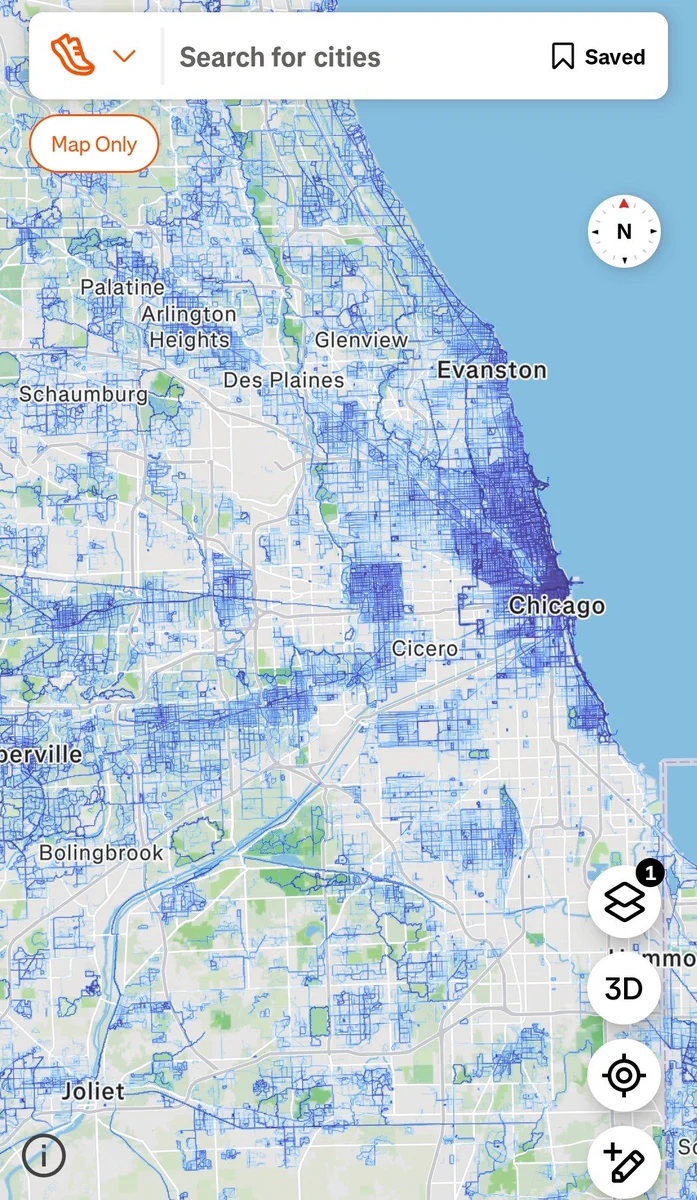
The idea gained traction because outdoor behavior reveals characteristics that rarely surface in a traditional property search. Parks, sidewalks, bike lanes, green areas, and pleasant routes influence the decision to leave home for physical activity. In this sense, observing these movements can offer a complementary perspective on the everyday experience of a neighborhood.
In Florianópolis, this reading finds a particularly interesting setting. The city has routes well known to runners and cyclists, as well as neighborhoods where the beach, open areas, and spaces for activities are part of daily life. In this way, the map offers a new angle for observing areas such as Jurerê, Campeche, and Agronômica.

The recent episode began with the Chicago heatmap. The concentration of activities recorded in the app drew attention because some areas appeared intensely lit, while others remained much less used.
From there, social media users began to interpret the map as a kind of informal indicator of socioeconomic and urban characteristics. What started as a good-humored comment, therefore, led to a broader discussion about what physical activity data can reveal about a city.
The reasoning is fairly simple. When many people choose a particular area to run, walk, or cycle, there is likely a reason for that preference. There may be parks, trails, good sidewalks, or pleasant routes. Likewise, factors such as available time and perceived safety can influence this behavior.
This led to a curious application: checking the heatmap before moving to an unfamiliar city. Rather than looking only at streets, distances, and points of interest, some people have started to also check where residents and visitors actually practice outdoor activities.

The heatmap represents the aggregated concentration of activities recorded by users. In practical terms, areas with many routes appear more intense visually, while places with fewer records appear darker.
This difference makes it possible to visualize usage patterns and understand which routes are part of users' routines. The heatmap, however, represents the activities recorded on Strava. For this reason, it works better as a clue about the dynamics of a region than as a measure of safety, income, or quality of life.
Even so, the routes offer a different kind of information: behavior. The map shows where app users actually choose to practice their activities.
This means that a highly lit area may bring together conditions that favor running, cycling, or walking. Still, it would not be correct to conclude, based on this data alone, that a given neighborhood is safer, wealthier, or more suitable for living.
The very nature of the tool calls for this caution. The Strava heatmap where to live works best as a complementary signal rather than as a standalone criterion for a real estate decision.
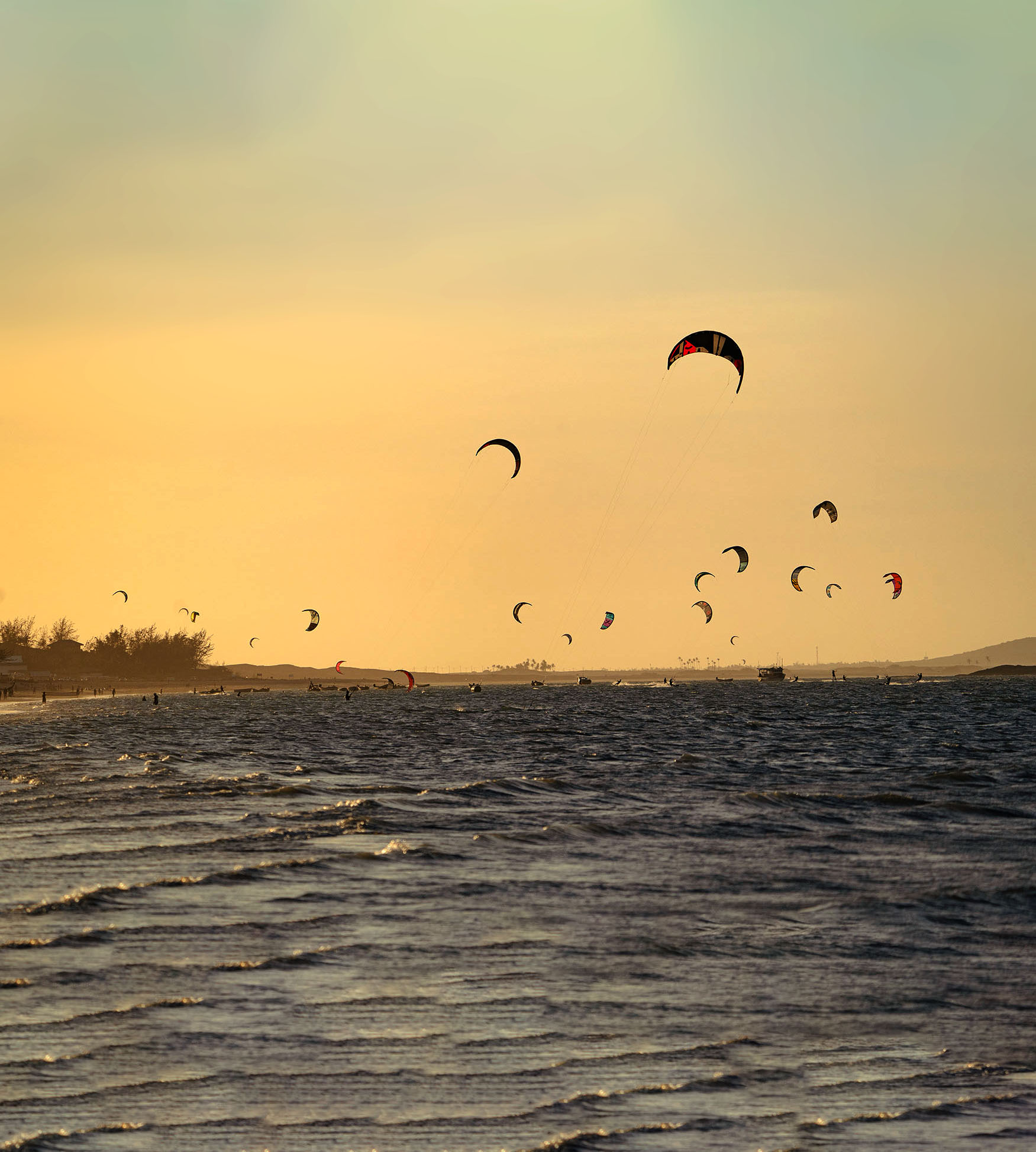
The relationship between the urban environment and route choice also draws academic interest. A 2023 study on running activity in Boston analyzed Strava heatmap data together with characteristics of the street environment.
According to the information gathered for this article, runners showed a preference for streets perceived as accessible, open, clean, and safe. The presence of natural elements was also associated with route choice. On the other hand, environments with more interruptions and distractions attracted less running activity.
These findings help explain why a map originally developed to visualize sports activities can attract the interest of anyone evaluating a region to live in.
After all, choosing a running route involves a concrete experience of space. The runner observes the continuity of the path, its comfort, and the characteristics of the environment while deciding where to go. As a result, thousands of individual choices recorded in the app create visual patterns.
In practice, an area with many recorded activities shows that Strava users have frequently chosen those paths. Meanwhile, a less illuminated region may simply have fewer app users or favor other forms of mobility and leisure. The map becomes truly valuable when it serves as a starting point for understanding what lies behind these patterns.
The value of the map therefore lies in the questions it helps us ask.
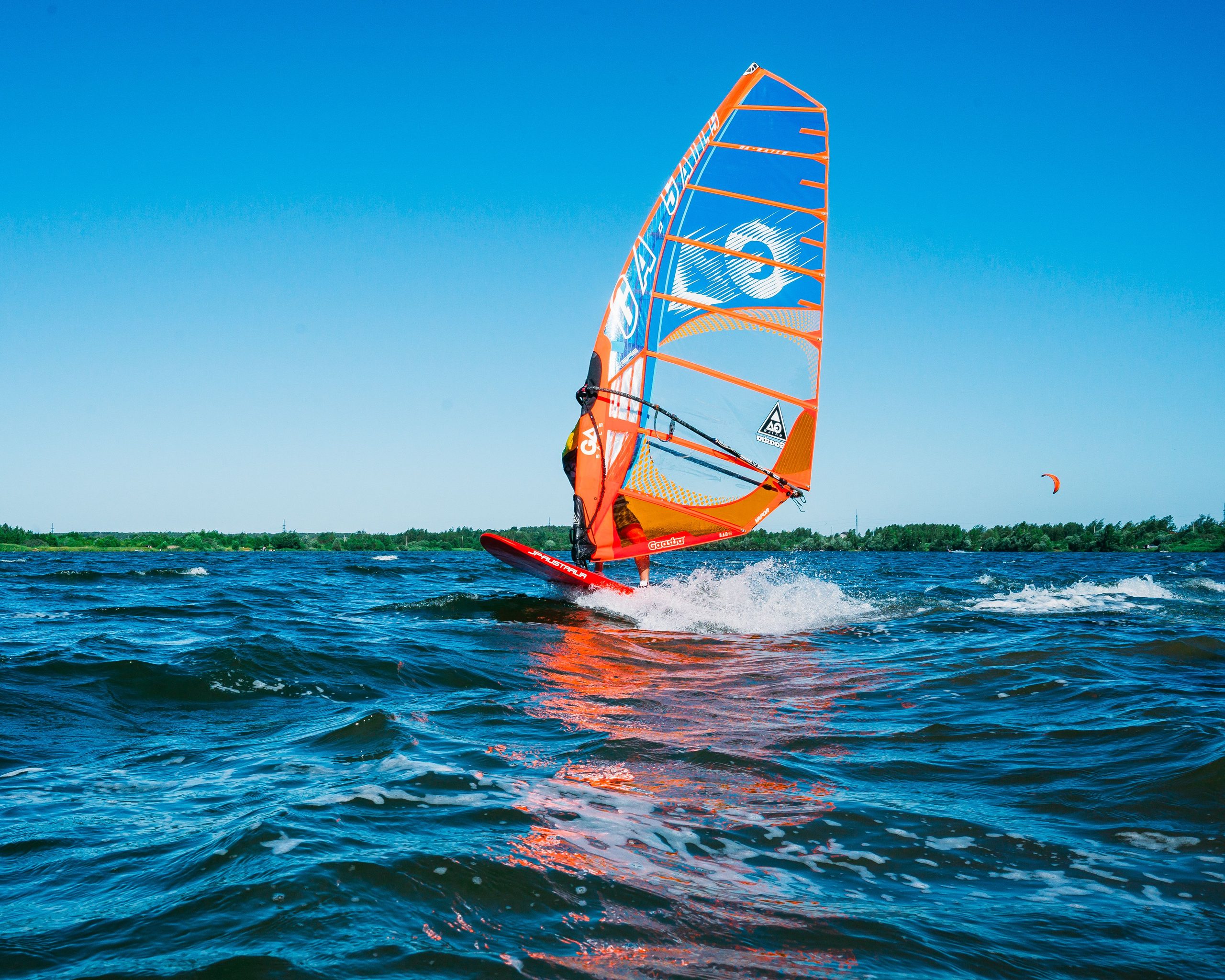
Florianópolis already has a well-established culture of outdoor activities. Running, cycling, and walking find space across different landscapes of the Island, from urban stretches to routes near beaches and natural areas.
Among the routes traditionally associated with sports are Beira-Mar, Lagoa da Conceição, and the axis between Joaquina and Barra. In addition, various routes cross residential areas and help show how physical activity and everyday urban life can occupy the same territory.
In Florianópolis, this trend takes on its own interpretation. By observing how the city works in practice, it is possible to apply the same logic of the heatmap to the routes and spaces that are part of the daily lives of those who run, cycle, and practice outdoor activities. This reading helps us see the Island from a different angle: which regions favor this lifestyle and how location can shape the experience of living in Floripa.
This distinction preserves precisely the most interesting aspect of the tool. Rather than turning the map into a neighborhood ranking, it can be used to observe how certain areas are lived in.

Jurerê, Campeche, and Agronômica represent different contexts within Florianópolis. For this reason, viewing these areas from the perspective of physical activity can add a layer to the traditional analysis of location.
In Jurerê, for example, proximity to the beach is part of the landscape and influences how residents use outdoor spaces. In Campeche, the relationship with the coastline also creates possibilities for a routine connected to the open environment. Agronômica, meanwhile, is situated in the urban context of the central region and close to the Beira-Mar axis.
In this sense, the interest of the heatmap lies less in identifying which neighborhood would be the “best” and more in helping the future resident formulate concrete questions. Where do people run? Which routes appear connected? Are there routes near the address being researched? Does the neighborhood match the routine the person intends to have?
These questions are especially relevant for those who consider the active lifestyle in Floripa an important part of the housing decision.
R$ 1.190.000

R$ 7,500,000

R$ 3,300,000

R$ 2,700,000

R$ 11,000,000

R$ 12,000,000

R$ 2,300,000

R$ 3,950,000

R$ 3,500,000

R$ 19.900.000
Choosing a property usually involves objective criteria, such as location and the characteristics of the property. However, the experience of living there also depends on what happens after the resident walks through the front door.
For those who practice physical activity, the ability to incorporate running, walking, or cycling into the routine can carry significant weight. In this case, living near a route used frequently reduces the distance between the intention to train and everyday practice.
The heatmap adds precisely this behavioral perspective. While a conventional map shows where streets and amenities are, Strava makes it possible to observe where a portion of users actually move for leisure or sport.
Thus, two seemingly similar regions may show different patterns of activity. This information, in turn, can encourage a more detailed investigation before choosing a property.
The future resident can visit the neighborhood at the times they intend to use its spaces, observe the condition of the routes, and understand how that location fits into their routine. In addition, they can compare this impression with official information and other relevant criteria for the decision.

R$ 1,235,000

R$ 19,200,000

R$ 15,000,000

R$ 26,000,000

R$ 4,600,000

R$ 11,500,000

R$ 10,790,000

R$ 7,790,000

R$ 8.913.611

R$ 4,108,000
When searching for a property, Strava can serve as one more tool for reading the city. Physical activity data reveals behavioral patterns that conventional maps rarely show and, therefore, can complement information about location, safety, infrastructure, and the experience of visiting the neighborhood itself.
For those arriving in Florianópolis, this can be especially useful. Even before getting to know each region in depth, the interested person can observe which routes see activity and, from there, research what exists around them.
Likewise, those who already know the Island can use the map to see familiar neighborhoods in a different way. A recurring route can reveal how much a given infrastructure or urban characteristic influences one's everyday choices.
Real estate analysis, therefore, gains an additional question: what would it be like to live the desired routine from that address?
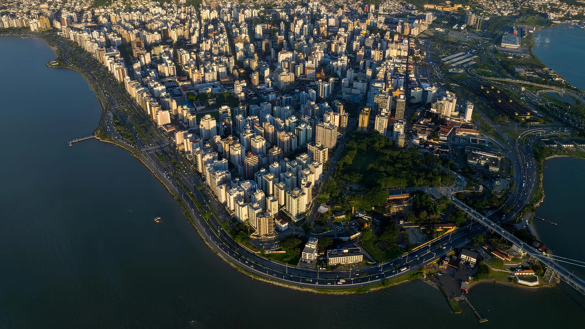
The recent phenomenon around Strava shows how data created for one purpose can acquire new meanings when observed collectively. A map intended for runners and cyclists has begun to arouse the curiosity of people interested in urban planning, quality of life, and even housing choices.
In Florianópolis, this perspective is all the more compelling because outdoor life is part of the experience of many different regions. The heatmap makes this dynamic visible through the paths chosen by people who live the city's active sporting life, and it adds a new layer to the way we read the city's neighborhoods.
The next time a run, bike ride, or walk begins, consider why that route was chosen. Perhaps it was for the scenery, the continuity of the path, the convenience, or simply the pleasant feeling of being there and wanting to live in that place.
In the real estate market, these everyday preferences also help define what each person understands as living well. That is why those searching for a property in Jurerê, Campeche, Agronômica, or other regions of Florianópolis can add this new perspective to their research.
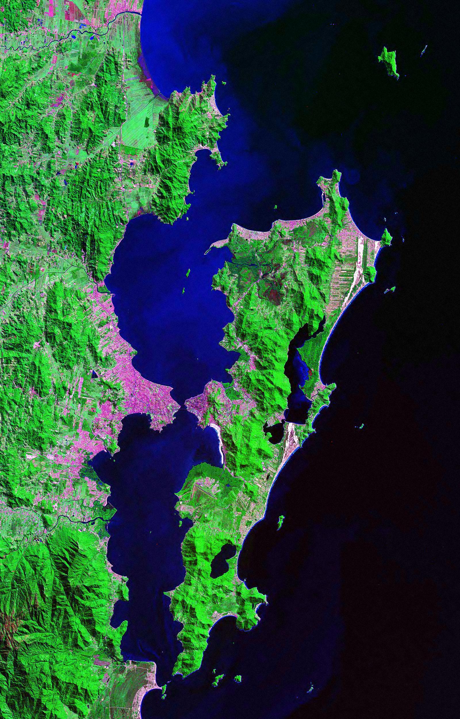
Strava is a particularly visual example of how activity data can reveal people's relationship with a territory. However, this logic need not be limited to running or cycling. Apps focused on trails, navigation, and outdoor activities can also add valuable information to the research of anyone planning to live in a new region.
Trail apps, for example, help identify routes used for hiking, trekking, and other activities in nature. In this case, the interest lies in observing which outdoor experiences exist near the neighborhood under consideration and how much travel will be required to incorporate them into daily life.
Likewise, mapping and navigation apps can help you understand distances, access routes, and connections between different points. For those who choose Florianópolis precisely for the possibility of combining urban life, beaches, and nature, this kind of research broadens the understanding of a location.
Apps geared toward maritime navigation can support the consultation of nautical charts and information, while tools designed for fishing bring together resources specific to that activity. Thus, each sport or interest can produce a different way of observing the territory.
The same care should be taken as with the Strava. None of these apps, on its own, determines the quality of a neighborhood or the suitability of a property. However, when used as complementary sources, they help the prospective buyer investigate whether the location matches the desired lifestyle.

R$ 21,900,000

R$ 3,990,000

R$ 2,650,000

R$ 11,500,000

R$ 7,850,000

R$ 6,980,000

R$ 3,900,000

R$ 4,000,000

R$ 10,600,000

R$ 15,000,000
For some people, living well means being able to lace up their sneakers and find a good running route near home. For others, it means having convenient access to trails, the sea, or water sports. For this reason, analyzing a property from the perspective of the sports practiced by its future resident can reveal criteria that a conventional search rarely considers.
Those who enjoy trails, for example, can observe the relationship between the neighborhood and the routes they intend to use. In this sense, the property's location influences both access to the activity and how easily it can be incorporated into weekends or daily routines.

Fishing, sailing, and other forms of navigation involve needs different from those of a runner or cyclist. Consequently, the reading of a location also changes according to the activity that is part of the resident's life.
For those who practice water sports, for example, it may make sense to assess the address's proximity to the points used to access the sea and to the infrastructure required for the specific discipline. Those who fish may consider the spots they usually frequent and the travel involved. In practical terms, the sport transforms one's personal map of the city.
This reasoning helps explain why Florianópolis neighborhoods can be evaluated in different ways by people with distinct routines. The same location that appeals to someone for its proximity to a running route may draw the attention of another person for its connection to the coastline or to certain access points.
Thus, technology adds an interesting layer to real estate research. The map no longer answers only “where is this property?” and begins to help the future resident explore “what does the location allow me to do regularly?”.
In a city marked by the presence of the sea and by a wide range of outdoor lifestyle possibilities, this question can carry real weight in the decision. After all, the choice of neighborhood also shapes part of the paths that will be traveled after the move.
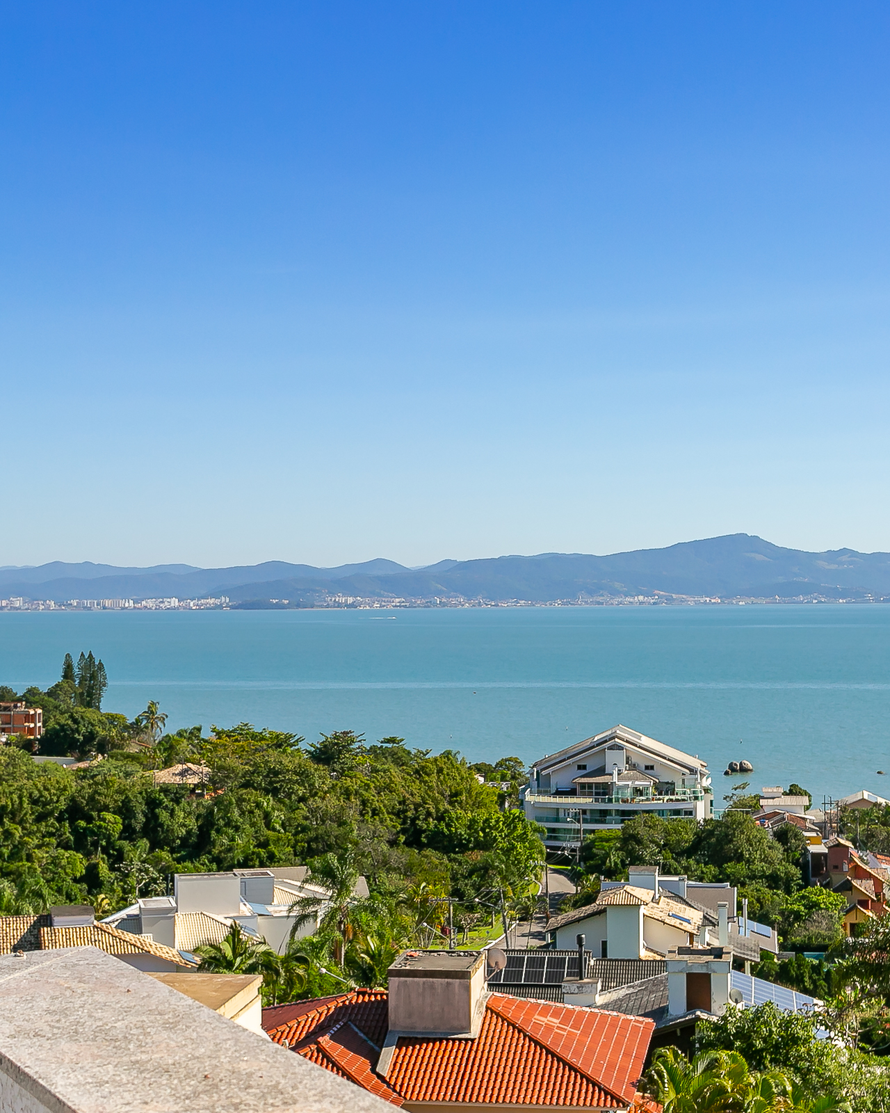
Our Brokers Are Strategic Partners in Guiding Sound Investments. Investing in luxury properties is a strategic decision that requires careful analysis and a deep understanding of the market. Throughout the sales process, each broker offers a strategic consulting. This way, we guide our clients on the journey to identify the best investment opportunities. Our expertise allows this partnership with our clients to result in investments that maximize financial returns. While providing a sophisticated lifestyle, within what the client seeks.

We live in the best place in the world: Florianópolis. Today, the city offers the best lifestyle in Brazil. In other words, it provides us every day with a unique combination of natural beauty, quality infrastructure, and a strong local culture. Here at Luxury Home, every broker also has the mission of providing our clients with peace of mind in their search for the best opportunity.
To offer the best real estate options, it's essential to have a thorough understanding of the city we love, live, and work in. Therefore, we understand that Floripa is a city with unique characteristics and a diversity of upscale neighborhoods that cater to different client profiles.
Some prefer proximity to extreme sports, while others prefer proximity to technology, while still others prefer the best option that encompasses both. From the most exclusive and sophisticated areas to the quieter, family-friendly regions with a high standard of living, each neighborhood has its own charm and benefits. And here at Luxury, every broker understands this very well.
Knowing all these nuances is a differentiator that allows us to present options that are truly the perfect match.

R$ 3,990,000

R$ 1,195,000

R$ 8,600,000

R$ 12,500,000

R$ 2,900,000

R$ 4,790,000

R$ 4,750,000

R$ 2,890,000
R$ 4,750,000

R$ 4,590,369
Count on our brokers and our specialized real estate advisors to find the perfect property and guarantee your peaceful living in [location]. Florianópolis. Our team operates with the concept of a Boutique of Service, offering a highly personalized and bilingual experience.
We are executives who are knowledgeable not only about the characteristics of the properties, but also about the different lifestyles and particularities of each region of Florianópolis Island. For those arriving in the city and wishing to visualize what it would be like to live here, our selection goes beyond location and square footage.
We select properties that perfectly fit your current life stage, considering aspects such as your routine with children, suggestions for schools, sports, businesses, special activities, and the dynamics of each neighborhood — always with a sensitive eye to your needs and preferences. In other words, from the search to the negotiation, we are by your side every step of the way.
With our experience and extensive knowledge of the region, we will find the ideal place for you to live and invest. We are located in Jurerê Internacional, at Professor Heinz Braunsperger Street, 88 – Store 3. Schedule your visit.

♠ +55 48 99660 6799
♠ dayrocco@luxuryhomefloripa.com.br
♠ Follow on Instagram
♠ Check out our Real Estate Portfolio

I am a specialist in luxury real estate, high-end properties, and real estate investments in Southern Brazil. Recognized for my premium and bilingual service, I accompany each client from the initial search to the delivery of the keys, connecting buyers and investors to the most exclusive developments on the island, from Jurerê Internacional to Campeche, passing through Cacupé, João Paulo, and Praia Brava. Founder of Luxury Home Floripa, I have accumulated over R$320 million in sales over five years of experience in the high-end real estate market. Here I share analyses of the luxury market in Florianópolis, high-end launches, appreciation trends, and everything a discerning buyer needs to know before making a significant asset decision. I also share insights and news about the lifestyle surrounding this universe: the nautical world, gastronomy, events, sports, and everything that connects Florianópolis to the world of high-end real estate.
